

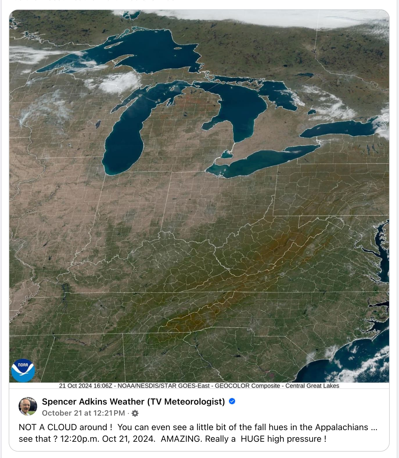
Whoa I didn’t know you could see state and county lines from space. I guess maps are more realistic than I thought!
Imagine how much work it must be to chalk those lines every time it rains.
Bro this ain’t the 1800s, we’re obviously using LED light strips for that now. The downside is that a single section goes dark and we lose mapping data for the entire northeast. Totally worth it though when they turn on the strobe effect.
I’m no weatherologist, but I think those may just be temporary.
What does weatherology have to do with landology? Educate yourself
Do I look like someone who went to university college to you?
Those lines, too. Did they pick where the states and burrough were based on those white lines?
No, I’m pretty sure it’s like a baseball game. Some dude runs out there every so often and chalks the boundaries a mile or so in width so you can see them from space